
to measure stream depth in Owens Creek.
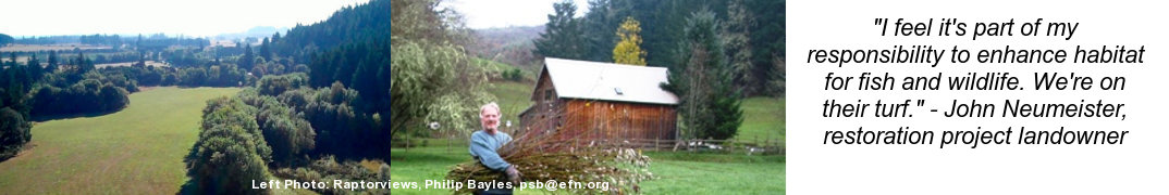
LTWC and six other watershed councils are participating in a 10-year Model Watershed Program focused on increasing the pace and effectiveness of community-based restoration in selected watersheds of the Willamette Basin. In the Long Tom Watershed, these “model sub-watersheds” include Coyote, Bear, and Ferguson Creeks due to the high potential of habitats improved for native fish and wildlife.
Trends in water quality and habitat variables are tracked over a 10-year period to learn how conditions are changing as well as to measure the effectiveness of restoration efforts so we can evaluate the cumulative impact of councils’ efforts on downstream water quality and habitat in the greater Willamette Basin.
Data is collected at restoration project sites and compared to control sites where no restoration is planned. Baseline information is collected before restoration activities being, and collected over a number of years at the same site to compare results to expected project outcomes.

in Ferguson Creek to measure the density of
shade from overhanging vegetation.
Measured indicators include:
- Biological (e.g. fish density, macroinvertebrate presence and diversity)
- Chemical (e.g. water temperature, acteria, nutrients)
- Physical (e.g. frequency of large wood, percent canopy cover, substrate quality, variation in stream depth)
The ultimate goal of gathering monitoring data is to help us maximize our impact as we work toward important habitat goals – cooler stream temperatures, vegetating stream corridors, increasing habitat for native fish, and restoring and connecting remnant oak and prairie patches.
The Model Watershed Program is a collaborative effort funded by Meyer Memorial Trust and administered by the Bonneville Environmental Foundation.