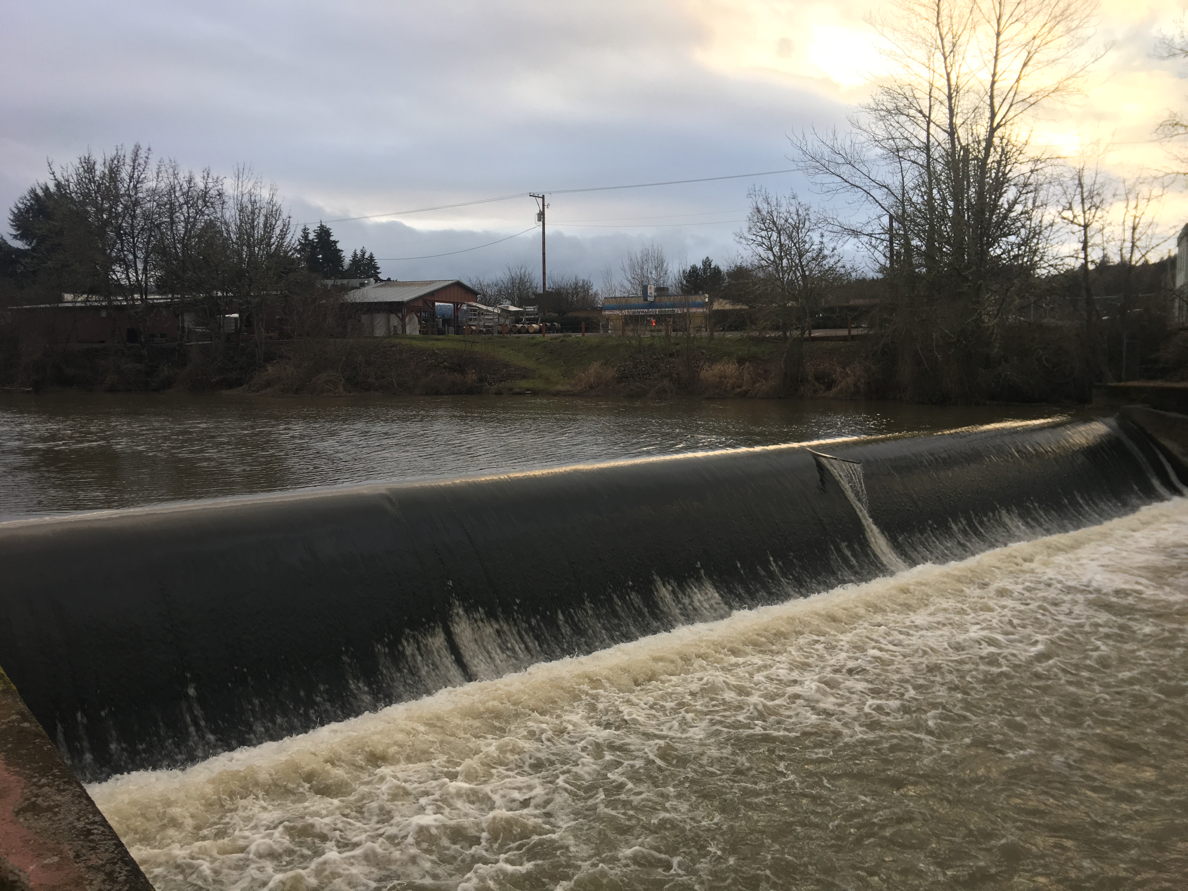
The Long Tom River flows from the Central Oregon Coast Range, running east and north to join the Willamette River. In 1941, the U.S. Army Corps of Engineers built Fern Ridge Dam for flood control and irrigation storage near Alvadore, at river mile 23. The maximum discharge from the reservoir exceeded the capacity of the meandering, low-gradient Long Tom River downstream. To reduce erosion from reservoir discharges, starting in 1943 the Corps straightened the Long Tom River, removed woody debris, built levees, and armored the channel. This work converted a 36-mile reach of the river into a straighter, deeper, and rock-lined stretch of 23 miles. The Corps also built three low-head dams between 7.5 feet and 11.5 feet high in order to slow the river’s velocity and reduce scour. The lowest such structure is at the small town of Monroe.
Read More at our project page: https://www.longtom.org/lowerlongtom/