Mainstem Willamette River Projects
Since 2013 LTWC has worked with public and private landowners along the mainstem Willamette River just east of the Long Tom Watershed to restore river processes and improve habitat for important fish and wildlife species. The Willamette River and its floodplain have gone through drastic changes since the 1850’s as the valley was settled. The Willamette River Basin Planning Atlas is a great resource that describes in detail the changes the river has gone through and how things might look in the future under different scenarios.
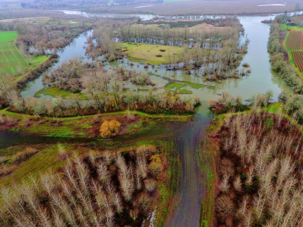
Some of the most impactful changes to the river, its floodplain and the species that utilize it, have been the alterations to the riparian area and the geomorphology of the river that humans have made. Comparing 1850 to 1990, over 85% of the riparian forest along the river has been converted to other vegetation types or land uses. Between Eugene and Albany, the total area of river channels and islands has been reduced from just under 25,000 acres in 1850 to slightly more than 8,000 acres in 1990. These extensive forests and constantly changing side channels, alcoves, and islands provided essential habitat for many important fish and wildlife species such as spring Chinook salmon, Pacific lamprey, western pond turtles, and migratory birds.
LTWC has been a part of multiple partnerships consisting of non-profits and government agencies dedicated to restoring riparian forests and dynamic river channels and floodplains along the Willamette, including the The Willamette River Initiative and the Anchor Habitats Working Group (see the Willamette River Anchor Habitat Restoration story map for more information).
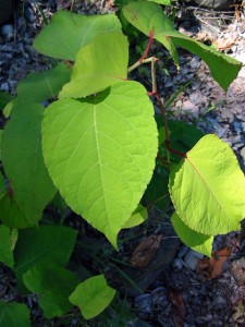
With funding from Meyer Memorial Trust, we started our work on the Willamette by getting to know landowners along the river and surveying for and treating invasive weeds like knotweed, english ivy, and clematis that threaten the long-term health of already reduced floodplain forests. Our partner in the Willamette River Initiative, Benton Soil and Water Conservation District, has some great info on non-native plants and their impacts on the Willamette River and its floodplain. BSWCD also coordinates the Mainstem Willamette Cooperative, a group of non-profits, agencies, and landowners that work to explore natural resources issues along the Willamette.
After getting to know the stretch of the Willamette River between Eugene and Peoria, we developed plans to improve habitat in the river, its side channels, and floodplain at two publicly-owned sites: Snag Boat Bend and Sam Daws Landing.
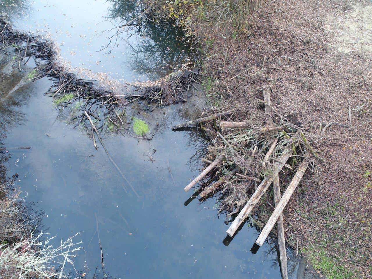
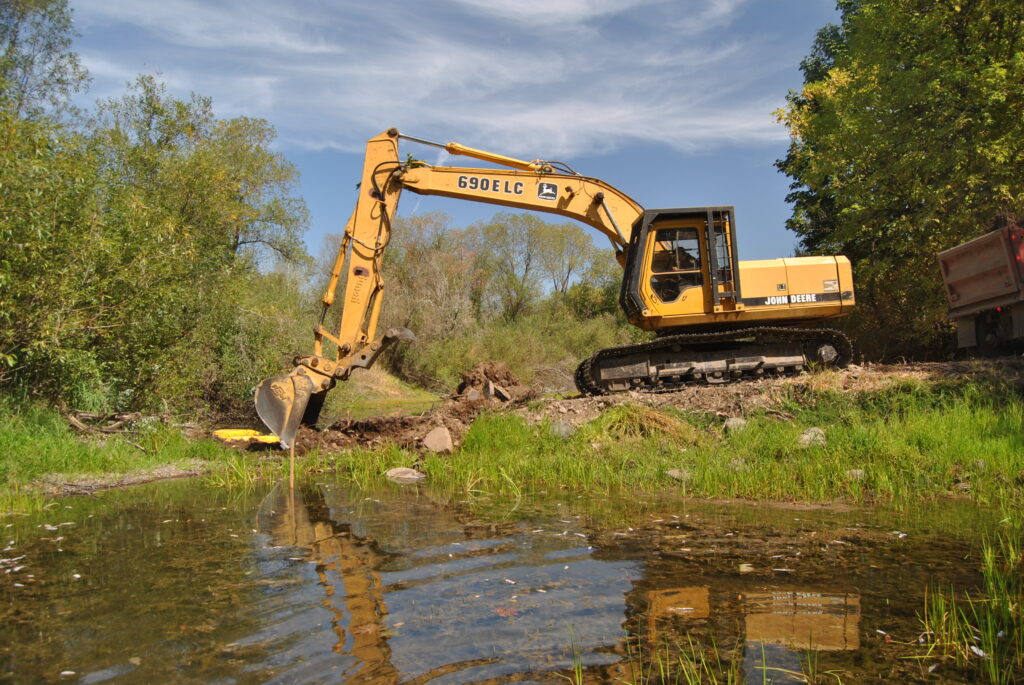
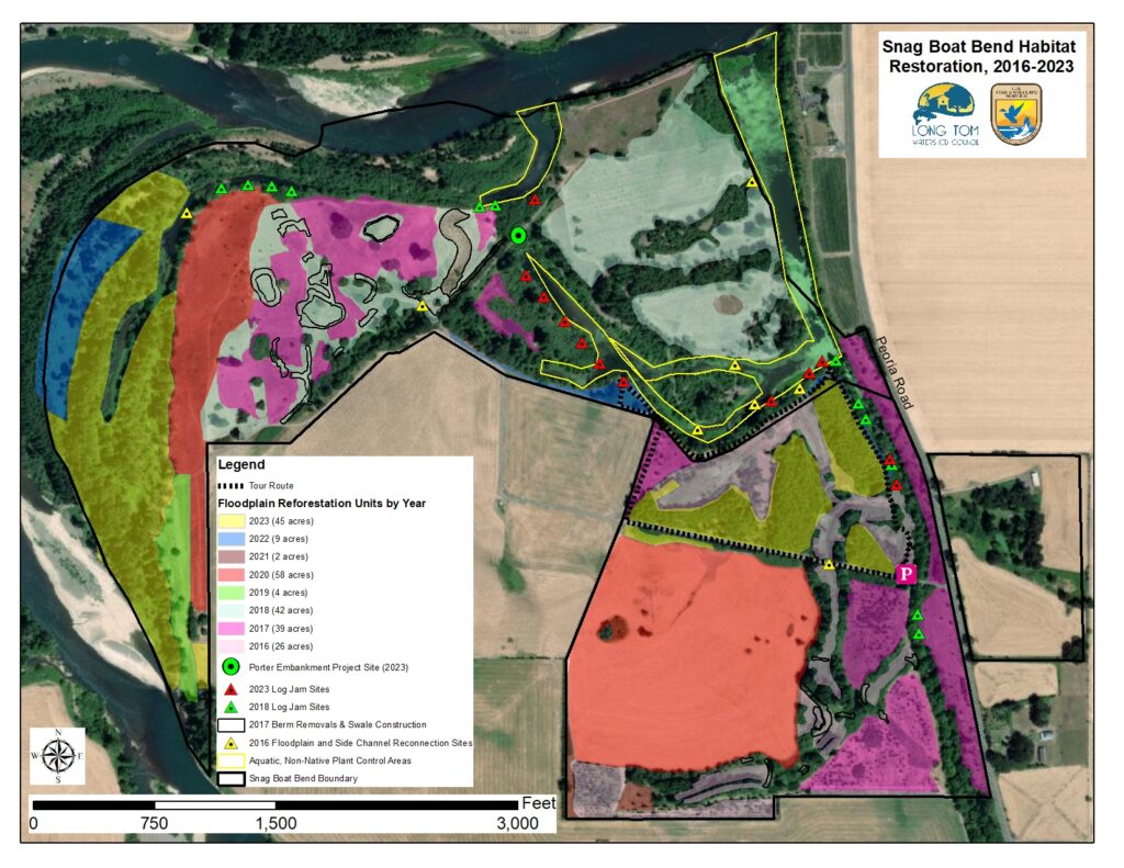
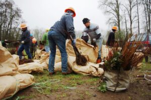
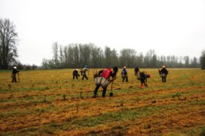
Snag Boat Bend is a 341-acre unit of William L. Finley National Wildlife Refuge, and is owned and managed by the U.S. Fish and Wildlife Service. It is located just across and downstream of the historic mouth of the Long Tom River, on Peoria Road between Harrisburg and Corvallis. It is open to the public and has a number of trails you can walk to check out the extensive habitat restoration work LTWC is working on with USFWS. As of 2024, we have replanted 220+ acres of floodplain that was historically forested before conversion to agriculture. In addition to the reforestation activities, we have worked to reconnect the river to its floodplain, remove passage barriers for aquatic species, and eliminate fish stranding risks by removing constructed features at 10 sites that disconnected 50+ acres of side channel and floodplain habitat. We have completed other work to enhance habitat complexity in off-channel areas like side channels and alcoves. Activities have included removing constructed berms and water control structures installed by previous landowners for waterfowl hunting, replacing an 18” culvert with an 18.5’ wide concrete box culvert, excavating a floodplain swale to provide high-flow refuge habitat for juvenile fish, and installing 12 log jams in Lake Creek and Willamette River alcoves.
We are currently working on a project to reconnect the Willamette river to over a mile of its historical channel that was disconnected when a large revetment was installed to reduce bank erosion on the property when it was privately owned in 1964.
As a special bonus, check out this episode of the Natural World, recorded at Snag Boat Bend by legendary KLCC radio host John Cooney.
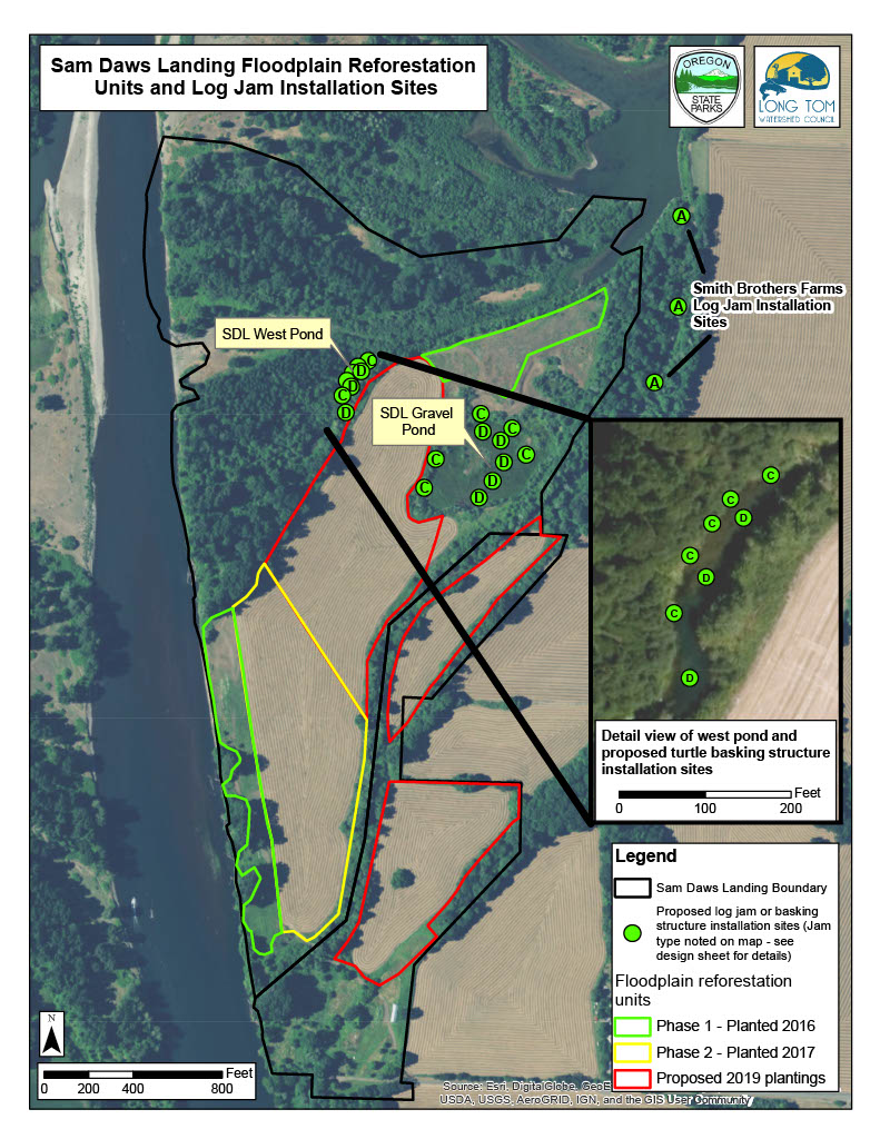
Sam Daws Landing is a 172-acre unit of Oregon State Park’s Willamette Greenway. It is located across the river from the Long Tom River’s historic confluence with the Willamette River and is only accessible by boat. At Sam Daws Landing we have planted native trees and shrubs on 59 acres of floodplain that was historically riparian forest but had been converted to agricultural use by previous private landowners in the early 1900’s.
We also removed four constructed features that disconnected almost ten acres of side channel habitat and installed log jams at 22 sites to improve aquatic habitat complexity and basking habitat for western pond turtles. We are currently working with OPRD to implement a project to connect a gravel pond to the Willamette River to improve habitat for native aquatic species.